
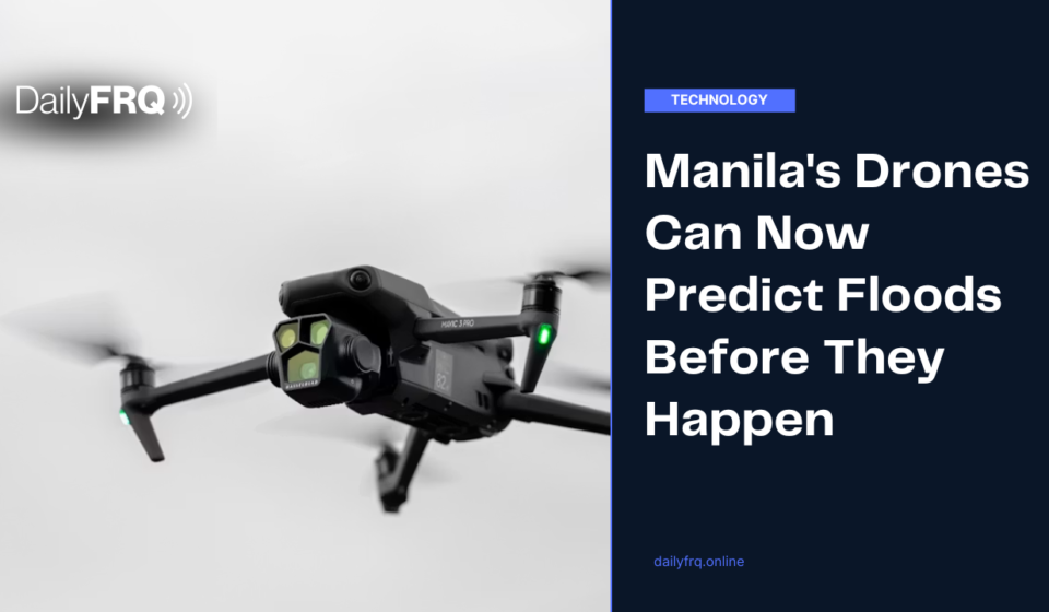
Manila’s Drones Can Now Predict Floods Before They Happen
Manila has a new tool in its fight against flooding, and it flies. City officials have disclosed a plan to use AI powered drones that can forecast where flooding will strike within two hours, giving residents a rare window to move before the water does.
Where the Announcement Happened
Mayor Isko Moreno and Department of Public Works and Highways (DPWH) Secretary Vince Dizon shared the plan while inspecting the drainage system along España Boulevard, one of the city’s most flood prone stretches. The area sits along the University Belt, where students and motorists are routinely stranded once the water rises. Moreno told reporters, “We can project two hours before where the big floods will hit,” speaking in a mix of English and Filipino.
How the System Works
The forecasting relies on an AI powered drone paired with 3D mapping technology built on the ArcGIS platform, capable of capturing city structures with millimeter precision. Moreno has explained that the system predicts flooding by weighing rainfall volume against the city’s land elevation, and that once the drainage network is fully mapped, officials can identify within minutes which areas will flood roughly two hours later.
Why España Boulevard Is Ground Zero
Manila sits as a catch basin for runoff from the mountains to the east, and España Boulevard has carried the weight of that geography for generations of residents. During the same inspection, DPWH announced a detention basin planned for Earnshaw Street to catch floodwater, similar to structures already in place in Bonifacio Global City and select Quezon City basketball courts. Dizon noted that the area’s drainage has not seen a real upgrade since the years after World War II, aside from smaller patch projects. A basin was originally planned beneath the University of Santo Tomas, but concerns over damaging heritage structures on campus pushed the project to Earnshaw Street instead.
The Bigger Picture
Early warning technology only matters if it reaches people in time to act, and Moreno framed the two hour window as exactly that kind of runway, enough for communities to evacuate before water takes over the street. It is one piece of a larger push toward data backed governance in the city, starting with the intersection every Manileño already knows to avoid during a downpour.